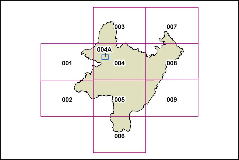
PLEP Land Reservation Acquisition Map
The Land Reservation Acquisition Map identifies land portions that are subject to compulsory acquisition for essential Council development activities.
This is the map from the 2012 exhibition draft of the PLEP (Dec 2012). An updated [2013 exhibition draft] version will be available as soon as it is released.
Click on the different panels on the map below to display detailed Land Reservation Acquisition Maps of the individual areas. At the present time, the only land under consideration in this context is in and around Bungendore. As a result, the only currently active portion of the map below is Area 004A.

